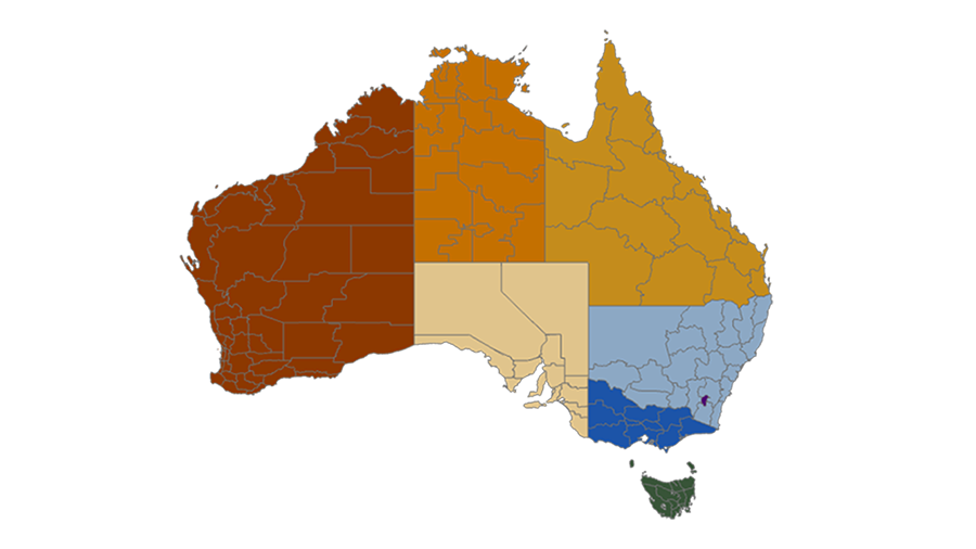
AFDRS Fire Weather District changes
Fire Weather Districts are the geographic areas used to determine and communicate Fire Danger Ratings across Australia. These districts provide the basis for issuing fire weather warnings and Fire Danger Ratings to help ensure communities, emergency services and other stakeholders receive consistent information about fire risk.
Fire Weather Districts are the geographic areas used to determine and communicate Fire Danger Ratings across Australia. These districts provide the basis for issuing fire weather warnings and Fire Danger Ratings to help ensure communities, emergency services and other stakeholders receive consistent information about fire risk.
To improve the accuracy and effectiveness of community messaging, WA and Queensland have recently reviewed and updated their Fire Weather District boundaries. The changes better align districts with local government areas, group regions with similar characteristics, and support clearer communication of Fire Danger Ratings and fire weather information to communities.
The attatched factsheet and list have been developed to help you understand the changes.
Access the resouces below for more information on the updated Fire Weather Districts in WA and Queensland:
- https://publications.dfes.wa.gov.au/publications/afdrs-fire-weather-district-boundary-changes-2026
- https://storymaps.arcgis.com/briefings/a87f3a35e9bd4687949e7744fb7b1877
- https://storymaps.arcgis.com/briefings/b0143d9c427543398750b880b311d730